
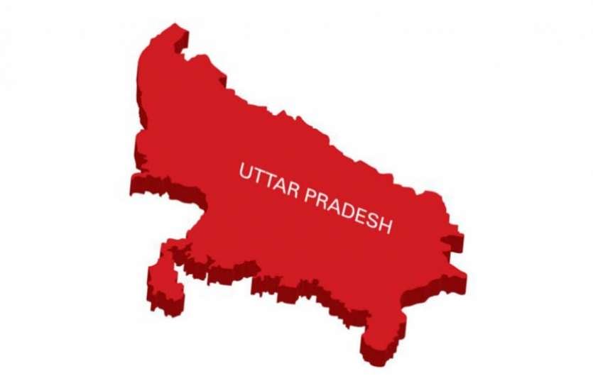
Uttar Pradesh (U.P.) earlier christened as United Provinces is a state located in the north-central Gangetic plains of India. U.P. has always held a high political significance in Indian democracy because it’s home to the largest share of Indian population and it portrays dynamic social demographics too. U.P. was created in the year 1937 by the British regime under the name of United Provinces and post independence it was renamed as Uttar pradesh in 1950. Lucknow district serves as the capital of U.P.. A total of 18 divisions and 75 districts constitute this state, whose northern portion was carved out in the year 2000 to form Uttarakhand, the 27th state of India. Agriculture is the primary contributor in the economy of the state and it’s also known as the Rice bowl of India.
- State feature highly rugged terrain and their elevation ranges from 300 to 5000 mts.
- The Siwalik range in U.P. plummets down to the Bhabhar area, which is a porous bed of coarse pebbles and boulders brought down by the rivers flowing down the Siwalik hills.
- The river-streams tend to sink in these porous beds of sediments.
- Bhabhar tract lies along the periphery of Siwalik foothills and it transitions into the Terai region gradually.
- This transition belt is termed ‘Terai and Bhabhar area’ and it is marked by rich forests and various riverstreams.
GEOGRAPHY
Location and Landform (Physiography)
- Uttar Pradesh is situated between 23°52’N and 31°28’N latitudes and 77°3′ and 84°39’E longitudes.
- It shares its national boundaries with 9 other states i.e., Himachal Pradesh, Delhi, Haryana on the north west; Uttarakhand in the north; Rajasthan touches U.P. from the west; Madhya Pradesh and Chhattisgarh on the south; Jharkhand to the south-east & Bihar lies in its east.
- Internationally U.P. is landlocked by Nepal on the north. With an area of 29.4 m ha it is the fourth largest state in Indian subcontinent.
- It is also the most populous State.
- Geomorphologically Uttar Pradesh can be divided into 3 major topographical regions:
- Siwalik foothills of Himalayas and the Terai region border U.P. on the north.
- Gangetic plains constitute the major central portion of the state.
- Vindhya Range and plateau lie in a relatively smaller part of southern U.P.
Siwalik Hills and Terai Region
- Siwalik Range forms the southern foothills of the Himalayas which border U.P. on the north.
- The lowland area dispersed with marshes, thick forests, swamps rich in clay and tall grasslands that runs parallel to the bhabhar tract is called Terai region. This area is composed of fine alluvium primarily sand, clay, silt and gravel.
- As the rivers flow down the slopes of Bhabhar and course through the relatively planar areas of Terai the sediments are deposited in shallow beds, and the sunken river streams of Bhabhar reemerge on the surface, causing massive floods.
- Width of Bhabhar — 8-16 km
- Width of Terai — 15-30 km
Gangetic Plains
- Gangetic plains are characterised by a flat topography and highly fertile alluvial soil.
- The two-river system called Ganges which includes Ganga and Yamuna and their tributaries, that flow down the Himalayas, is responsible for laying in alluvial deposits which make the soil of Gangetic plains highly fertile and suitable for growing crops like rice, wheat, barley, gram etc.
- These plains span about three-fourths of the total area of the state, stretching from east to west and covering most of its central portion.
- Its flat topography comprises of several physical features like rivers, lakes, ponds, elevation ranging from 60 mts in the east to 300 mts in the north-west and a gradient of 2 m/sq km.
- The Gangetic plains are constituted by the Ganga-Yamuna Doab, the Ganges plains, Terai and the Ghaghra plains; and this entire expanse of alluvial terrain is divided into three sub-regions:
- Eastern tract: The eastern tract of Gangetic plains is classified as scarcity region as it is often afflicted with famines and floods, and the agricultural lands of this region don’t receive adequate irrigation. A total of 14 districts fall under this tract.
- Central tract: It is a well irrigated tract but suffers from water logging.
- Western tract: This zone is well developed in terms of Agriculture because of excellent water resources and irrigation systems.
Vindhya Range And Plateau Region
- Vindhyas are a discontinuous range of hills and mountains.
- The southernmost stratum of Gangetic plains in U.P. is rendered by hard and varied topography of hills, highlands and plateaus.
- With an average elevation of 300 mts, this is a low-lying range that receives sparse rains and is devoid of adequate water resources, thus farmers in this region resort to dry-farming.
- Following 4 divisions fall under the canopy of this region:
- Bundelkhand plateau – Jhansi, Jalaun, Banda, Hamirpur
- Tehsils of Allahabad district
- Mirzapur district
- Chakia Tehsil of Varanasi district